KATOOMBA HOSPITAL PRECINCT
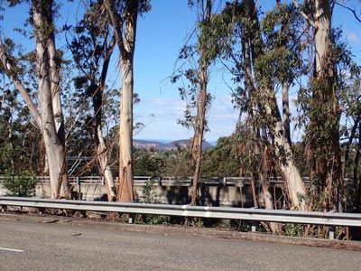
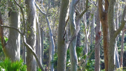
The Eucalyptus oreades stand

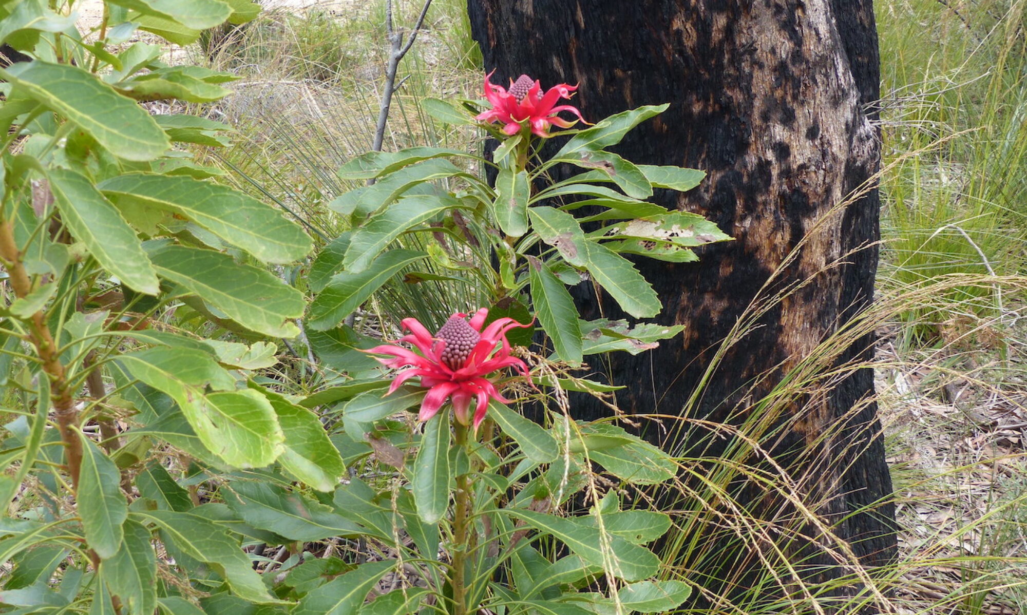
(© Christine Davies)
Eucalyptus oreades (also known as Blue Mountains Ash) is found in scattered areas along the Great Dividing Range. It is along western parts of the Blue Mountains range, especially from Lawson to Bell, and on southern Newnes Plateau that it is most abundant. Stands of oreades, in various stages of maturity, flank major tourist asset areas including Leura Cascades and Radiata Plateau. Among the native trees found in the upper mountains, it is one of those with the most inspiring appearance.
In 1989, a stand of mature Eucalyptus oreades on railway land south of Katoomba Hospital was added to Blue Mountains Council’s Register of Significant Trees. Early this century, when the Great Western Highway was widened to four lanes, this stand of endemic trees was protected by separating the eastbound and westbound carriageways of the highway. In the final design, the westbound carriageway was effectively cantilevered in a section abutting the working lines of the railway. Nowhere else, in the four lane sections of the highway, has the design been so markedly modified to protect vegetation.
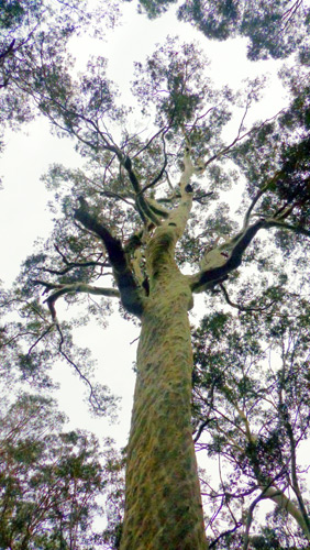
Eucalyptus oreades are described as especially vulnerable to large wildfires as trees lack a lignotuber and do not resprout from the trunk or higher branches. At around age 20 years the species develops a distinctive stocking of corky bark that provides some protection of the lower trunk during low intensity prescribed burns however.
In areas where construction and fire control activities will be widespread in future, stands of Eucalyptus oreades are among the more vulnerable natural assets. (Many thanks to Margaret Baker and Ian Brown for advice about Eucalyptus oreades.)
© Don Morison and Christine Davies