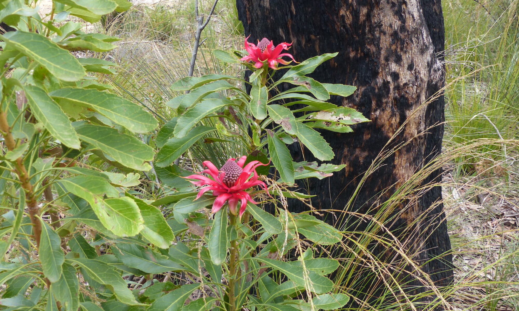
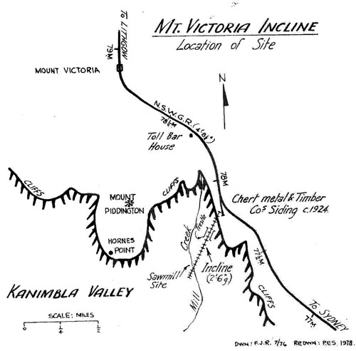
Nestling in the typical Blue Mountains ridge Eucalypt forest south of Mount Victoria are the remnants of a most unusual industrial operation. From 1925 to 1930 an incline railway operated to a main line siding from the valley, carrying timber and the rock known as chert. (Source: F. John Reid, article in “Light Railways”, January 1979.)
[Photo © Christine Davies]
The entire enterprise was never as successful as hoped and the operation changed owners at least once during the few years before its abandonment.
from “‘Chert’ Incline, Mt Victoria, NSW” by F John Reid]
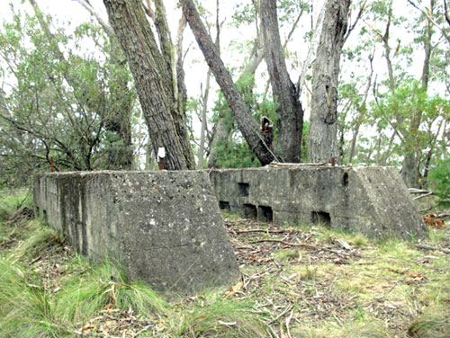
The archaeological site represented by the old siding and incline head station is now on a publicly accessible walking track from Fairy Bower picnic area at Mount Victoria along the western side of the railway to the north end of Station Street Blackheath. Apart from the concrete blocks (pictured) you can still see a number of old items from the 1920s lying about if you look carefully.
In the 1980s, Jim Smith and the late Wilf Hilder re-established a walking track from Fairy Bower picnic area to the bottom station, deep in the valley west of Mill Creek. This area proved particularly rich in relics such as old skips as well as chert and timber that was never loaded. They named the track “The Kinderin Track”, taking a local indigenous word.
It is sobering, even now, to think that this rich lode of a resource, respected by the traditional owners, was so messily and unsuccessfully disrupted.
© Don Morison