There’s a Fire! (song)
Open your eyes to Australia
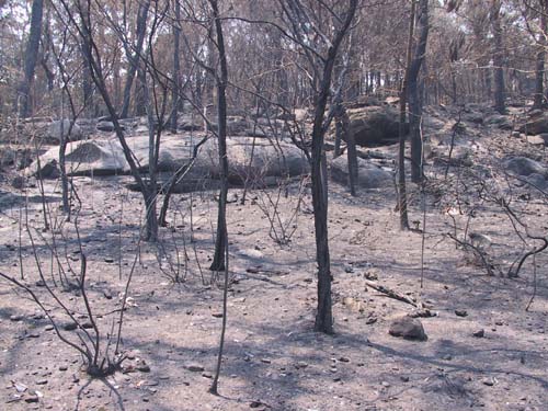
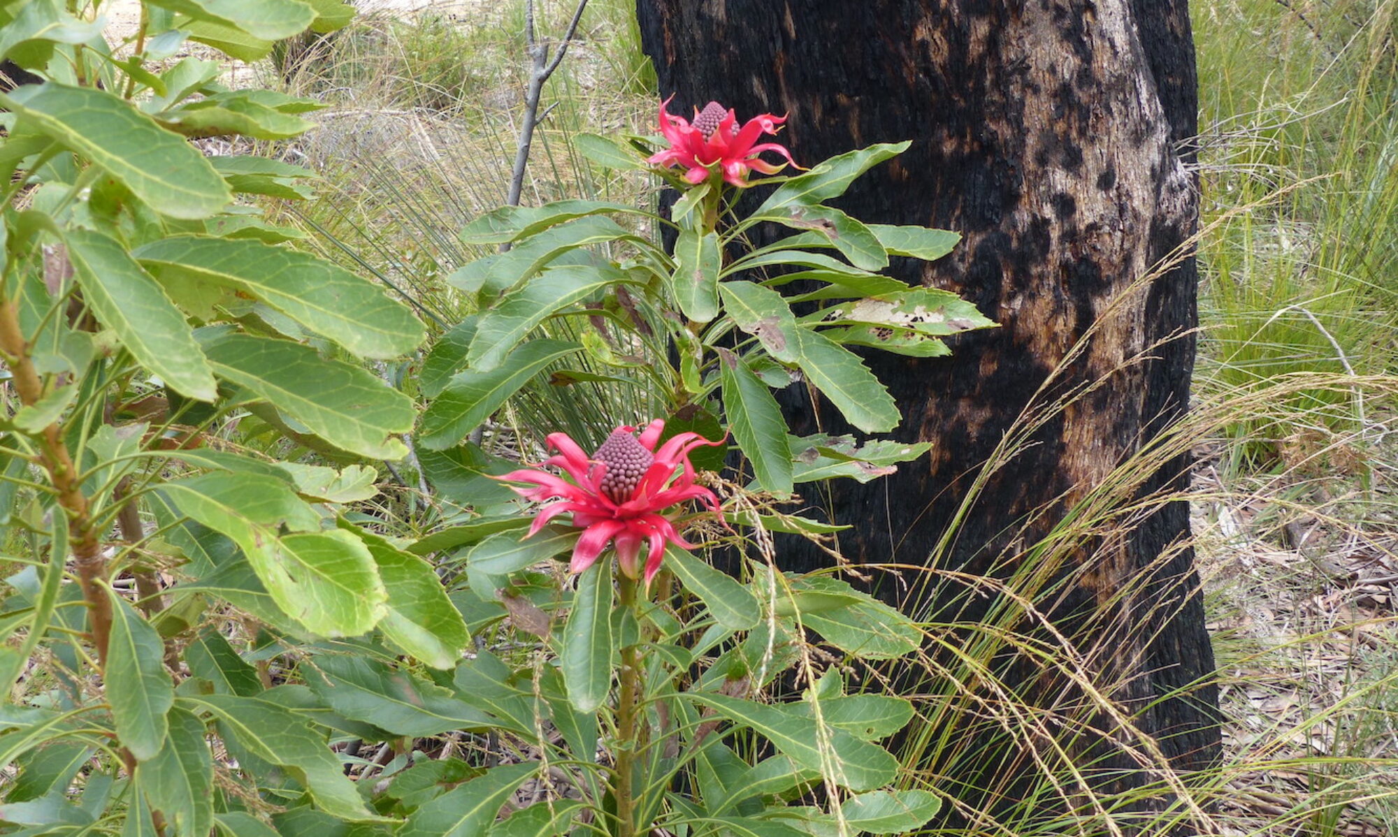
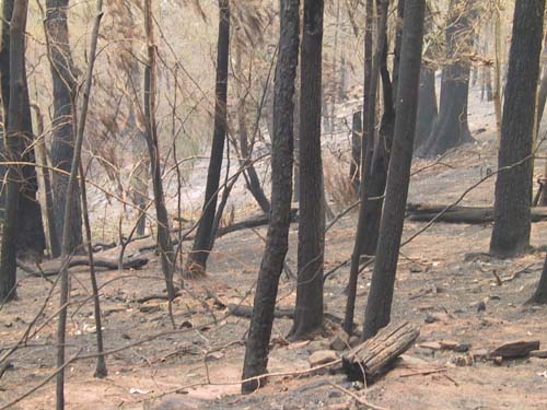
Like many parts of Australia, the Blue Mountains to the west of Sydney in New South Wales has experienced the savage bushfires sweeping the country. Homes have been destroyed and businesses and livelihoods were lost when fires impacted on the villages in the north and west of the Mountains in the last days of 2019. Thousands of hectares of precious world heritage National Park have been ravaged and sadly countless numbers of our precious wildlife have perished.
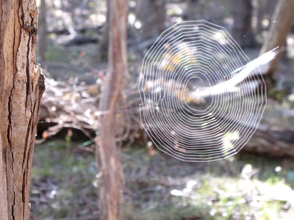
From the Taralga to Wombeyan Caves Road, 2WDs or 4WDs can access a fascinating variety of landscapes. Near this trail junction, sunlight filters through the ribbon gums, reflecting into a Lilliputian world of spider webs, colourful fungi and pools.
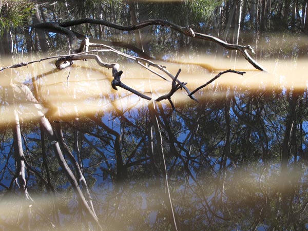
[photo: © Christine Davies]
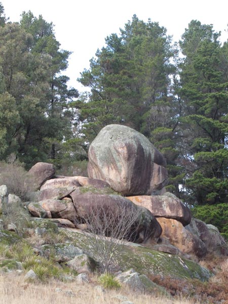
No doubt, stories about many other areas like this one were lost when the European invasion displaced the traditional Gundungarra lifestyle from the southern Blue Mountains. The Croker’s area is like an area north of Medlow Gap where part of the surviving legend is placed – Mirrigan creates a waterhole by forcing his snout upwards through the soil after tunnelling.
© Don Morison
The beautiful old Post Office at Hartley was constructed in the 1840s when this village was one of the most important settlements on the western road from Emu Plains to Bathurst. Its significance declined when bypassed by the first railway in 1869. Later the National Parks and Wildlife Service was able to take over the site and protect the 19th century features.
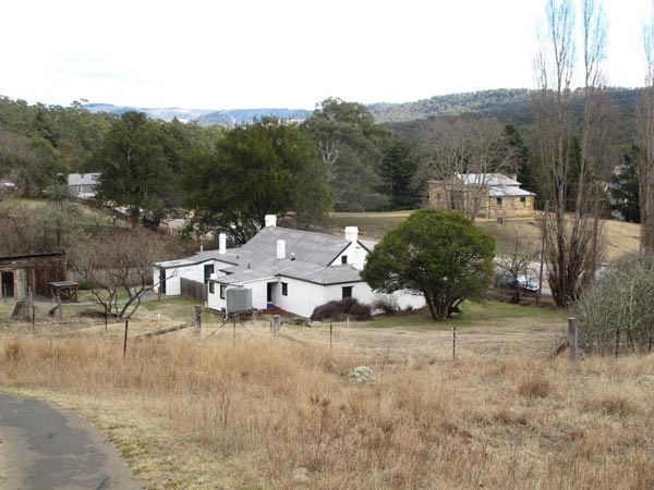
© Don Morison